The Survey Error That Made a Highway Belong to a Corn Farmer
The Decimal That Changed Everything
In the summer of 1943, surveyor Thomas McKinnon was having the worst week of his career. Tasked with updating property records across three Iowa counties, he'd been working sixteen-hour days in sweltering heat, translating old property descriptions into the modern coordinate system that would guide development for decades to come.
On July 23rd, exhausted and behind schedule, McKinnon made a mistake that would remain hidden for sixty years: he placed a decimal point one digit to the right of where it belonged.
That tiny error quietly transferred ownership of a half-mile stretch of what would become US Highway 18 from the federal government to Frank Henderson's corn farm.
The Invisible Transfer
Henderson never knew about his accidental highway acquisition. The survey error was buried in technical documents that wouldn't be closely examined for decades. When the federal government built Highway 18 through his property in 1956, Henderson was properly compensated for the land they thought they were taking.
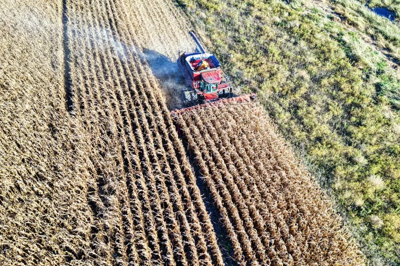
Meanwhile, the erroneous survey sat in the Butler County courthouse, a legal time bomb disguised as routine paperwork. The misfiled coordinates created a property boundary that extended far beyond Henderson's actual farm, encompassing not just his 160 acres of corn and soybeans, but also a substantial chunk of what federal engineers believed was public right-of-way.
For decades, thousands of cars drove daily across land that legally belonged to a farmer who was completely unaware of his ownership.
Three Generations of Ignorance
Frank Henderson worked his farm until 1978, when he passed it down to his son Robert. Robert farmed the same land for another twenty-five years, never suspecting that his property deed contained one of the most valuable clerical errors in Iowa history.
When Robert died in 2003, the farm passed to his son Danny—a part-time farmer who worked as an insurance adjuster in Cedar Falls. Unlike his father and grandfather, Danny had no intention of spending his life behind a plow. He decided to sell.
The Discovery
Danny Henderson's plan was simple: sell the farm, split the proceeds with his sister, and use his share to buy a small house in town. But when he contacted a real estate attorney to handle the sale, everything got complicated fast.
Attorney Sarah Kowalski was conducting routine due diligence when she noticed something odd in the property description. The coordinates seemed to extend much further east than a 160-acre farm should reach.
"I pulled up the county GIS system and started mapping out the boundaries," Kowalski later recalled. "At first I thought it was a computer error. The property line was running right down the middle of Highway 18."
Double-checking the original survey documents, Kowalski realized she was looking at either the most expensive typo in Iowa history or a legal nightmare that would take years to resolve.
The State's Quiet Panic
When Kowalski contacted the Iowa Department of Transportation about the discrepancy, she triggered a bureaucratic crisis that reached all the way to the state capitol. DOT officials initially dismissed her concerns—surely there was some simple explanation for the apparent overlap.
But as lawyers dug deeper into the historical records, the scope of the problem became clear. The 1943 survey error hadn't just been copied into Henderson's deed; it had been used as a reference point for dozens of subsequent property descriptions in the area. Correcting it would require untangling sixty years of legal documents.
"We had a situation where a private citizen appeared to own a piece of the federal highway system," explained former DOT counsel Michael Torres. "Legally, he could have put up a toll booth."
The Standoff
Faced with the potential embarrassment of admitting a decades-old error, state officials initially tried to handle the situation quietly. They offered to buy the disputed land from Henderson at agricultural prices—about $3,000 per acre.
Henderson's response was swift and decisive: absolutely not.
With traffic counts showing over 15,000 vehicles per day using "his" stretch of highway, Henderson calculated that the state had been trespassing on his property for nearly fifty years. If they wanted to make it official, they'd have to pay fair market value for highway frontage—approximately $50,000 per acre.
The state balked. Henderson hired a lawyer.
The Media Circus
By 2005, word of the dispute had leaked to local newspapers, turning Danny Henderson into an overnight celebrity. The story of the corn farmer who accidentally owned a highway captured national attention, with reporters camping out at his farm and legal experts debating the case on cable news.
Henderson, a soft-spoken man who had never sought publicity, found himself thrust into the spotlight as "the guy who owns the interstate." Late-night comedians made jokes about his "highway tolls," and property law professors used his case as a teaching example.
"I never asked for any of this," Henderson told reporters. "I just wanted to sell my dad's farm and move to town."
The Resolution
The legal battle stretched on for three years, generating hundreds of thousands of dollars in attorney fees and threatening to set precedents that could affect property law nationwide. Finally, in 2008, both sides agreed to a settlement that satisfied nobody completely.
The state acknowledged the survey error and agreed to pay Henderson $750,000 for the disputed land—far more than agricultural value, but less than his asking price. In return, Henderson agreed to transfer clear title to the highway right-of-way and sign a confidentiality agreement that prevented him from discussing the financial details.
The Aftermath
Today, US Highway 18 runs through Butler County just as it always has, with no visible sign of the legal drama that once surrounded it. Danny Henderson used his settlement money to buy a modest house in Cedar Falls and invest in a small construction company.
The Iowa DOT implemented new procedures for reviewing historical survey data, and surveyors across the state began double-checking their decimal points with renewed attention to detail.
As for the original survey documents, they remain in the Butler County courthouse—a reminder that sometimes the most mundane paperwork can carry consequences that echo across generations in ways nobody ever anticipated.
"People think surveying is boring," reflected current Butler County surveyor Janet Mills. "But every line we draw, every coordinate we record, could matter to someone's great-grandchildren. That's a responsibility most people never think about."
The Henderson case serves as a stark reminder that in the world of property law, there are no small mistakes—only mistakes that haven't been discovered yet.