The Mapping Mistake That Stranded an American Town in Canada
The Border That Makes No Sense
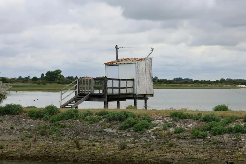
Imagine living in the United States but having to cross into Canada every time you want to drive to the nearest American grocery store. For the 119 residents of Minnesota's Northwest Angle, this isn't a hypothetical situation—it's daily life in America's most geographically confused community.
This 320-square-mile chunk of Minnesota exists because of a mapping error so fundamental that it's been quietly embarrassing governments for nearly two centuries. The Northwest Angle is completely cut off from the rest of the United States by the Lake of the Woods, accessible by land only through Manitoba, Canada. It's as if someone took a bite out of the map and forgot to put it back.
How to Lose Territory Without Really Trying
The story begins in 1783, when diplomats negotiating the Treaty of Paris had to draw a border between the new United States and British-controlled Canada. Working with maps that were more artistic interpretation than geographic accuracy, they decided the border should follow the 49th parallel west from Lake of the Woods to the Rocky Mountains.
There was just one problem: they assumed Lake of the Woods was shaped completely differently than it actually is. The treaty specified that the border should run from the "most northwestern point" of the lake straight west to the 49th parallel. But when surveyors finally reached the lake decades later, they discovered its most northwestern point was actually north of the 49th parallel.
This created a geometric impossibility. You can't draw a line south from a point to reach a line that's already south of that point. The solution was to create a small rectangular appendage stretching north from the main border—a geographic afterthought that would become the Northwest Angle.
Life in America's Strangest ZIP Code
The residents of the Northwest Angle have developed a uniquely American relationship with international border protocol. To drive to the rest of Minnesota, they must pass through Canadian customs, drive 40 miles through Manitoba, then re-enter the United States through North Dakota or northern Minnesota. A trip to the county seat in Baudette, Minnesota—technically the same state—requires crossing two international borders and traveling through a foreign country.
This creates daily absurdities that would be comedy gold if they weren't real life. Children attending school in the main part of Minnesota must cross international borders twice daily. Emergency services operate under special agreements that allow Canadian ambulances to respond to medical calls in American territory. And every grocery run becomes an exercise in international relations.
The U.S. Customs and Border Protection has adapted to this geographic oddity with characteristic bureaucratic creativity. Instead of staffing a full customs station for 119 people, they've installed a videophone at the border crossing. Residents returning from Canada are required to call the customs office and report their arrival, essentially operating on an honor system that would be unthinkable anywhere else along the 3,000-mile border.
The Fishing War That Almost Was
The Northwest Angle's isolation has created more than just logistical headaches. In the 1990s, a dispute over fishing rights nearly escalated into what historians would have called "The War of the Walleye."
The angle's economy depends heavily on fishing tourism, with visitors coming from across the Midwest to catch walleye, northern pike, and lake trout. But when Minnesota and Canada disagreed about fishing regulations on Lake of the Woods, the Northwest Angle found itself caught in the middle—literally.
Canadian officials argued that since the angle was only accessible through Canada, its fishing guides needed Canadian licenses. Minnesota officials countered that the angle was indisputably American territory and subject only to Minnesota fishing laws. For several months, fishing guides weren't sure which country's regulations applied, creating a bureaucratic nightmare that threatened the region's primary industry.
The dispute was eventually resolved through diplomatic channels, but not before highlighting the ongoing complications of America's most inconveniently located community.
The Modern Angle
Today, the Northwest Angle has embraced its geographic absurdity with the kind of practical Midwestern attitude you'd expect. Local businesses advertise themselves as "America's Northernmost Point" and "The Angle," turning their cartographic isolation into a marketing advantage.
The community has also developed creative solutions to their border challenges. Many residents maintain boats for summer travel across Lake of the Woods, effectively bypassing the international border entirely. Others have negotiated special arrangements with Canadian authorities for regular border crossings, though these agreements require constant renewal and diplomatic maintenance.
Cell phone service presents another modern complication. Many residents' phones automatically connect to Canadian towers, resulting in international roaming charges for calls made from their own American homes. Some have resorted to special antennas to boost signals from distant American towers, while others simply accept the monthly international calling fees as the cost of living in geographic limbo.
The Fix That Will Never Come
You might assume that after nearly 200 years, someone would have figured out how to solve this obvious problem. But any border adjustment would require treaty negotiations between two countries, approval from multiple levels of government on both sides, and the kind of diplomatic energy that's hard to justify for 119 people.
Meanwhile, the residents of the Northwest Angle continue living with the daily consequences of a 19th-century mapping mistake, proving that sometimes the strangest aspects of geography are the ones we create for ourselves. Their story serves as a reminder that borders—those lines we treat as permanent and sacred—are often just the result of someone with a pen making their best guess about where to draw a line on an imperfect map.
In a world where GPS can pinpoint your location to within three feet, the Northwest Angle stands as a monument to the enduring power of human error—and the stubborn refusal of bureaucracy to admit when something has gone completely, absurdly wrong.