One Wrong Letter, One Whole Country: The Map Mistake That Fooled the World for Six Decades
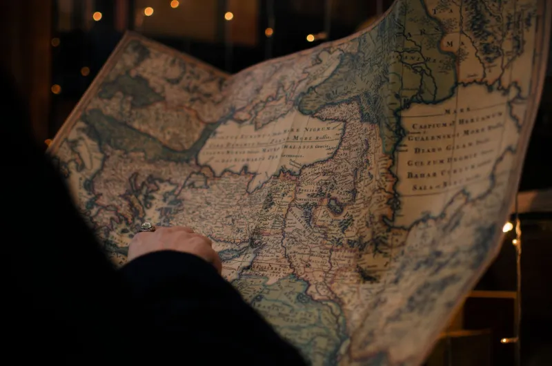
Most typos cost you an embarrassing email. One particular typo in the nineteenth century cost the international community an entire nation — or, more precisely, gave them one that had no business existing at all.
It sounds like the setup to a comedy sketch. A mapmaker misspells a place name, diplomats treat the mistake as gospel, and suddenly there's a government, a postal system, and a currency serving a territory that was never supposed to exist. But this isn't fiction. It's one of the most quietly absurd administrative disasters in the history of cartography — and it ran unchallenged for 62 years.
The Map That Started Everything
By the mid-1800s, European colonial powers were racing to carve up and catalog the world with increasing precision. Detailed maps weren't just useful — they were legal instruments. Border surveys carried the weight of treaties. When a cartographer's name appeared on a published map, governments treated that document the way courts treat sworn testimony.
Which is exactly why nobody questioned it when a map produced by a well-regarded surveying house rendered the name of a small border settlement with a single transposed letter. The actual location — a minor administrative outpost — appeared on the map under a name that didn't match any existing territory, jurisdiction, or settlement on record. Rather than flag the discrepancy, the clerks and diplomats who received the map did what bureaucrats have always done when confronted with confusing paperwork: they assumed someone else had already sorted it out.
The misspelled name was logged, cross-referenced with adjacent survey records, and — because those adjacent records were themselves based on the same flawed map — confirmed. The fictional territory had passed its first audit without breaking a sweat.
A Government for a Ghost
Here's where things get genuinely strange. Because the territory appeared on official maps, colonial administrators were obligated to govern it. That meant appointing a local authority, establishing a tax structure, and eventually — because no functioning colonial administration could resist the urge — issuing currency and setting up a postal route.
The appointed administrator, a minor functionary who almost certainly knew something was off but wasn't about to argue with a signed commission, did his job with remarkable thoroughness. He collected taxes from the actual settlements that sat near the fictional border. He issued receipts stamped with the territory's misspelled name. He sent correspondence to the colonial capital that was dutifully filed, archived, and answered.
For decades, the territory existed in a kind of bureaucratic double life. Real people lived in real towns nearby. They paid taxes to a government organized around a place that didn't exist. Some of them almost certainly received mail routed through a postal system that listed their home as part of a fictional jurisdiction.
And nobody — not the colonial administrators, not the foreign governments who signed trade agreements referencing the territory's borders, not the cartographers who continued to reproduce the original map's error in subsequent editions — stopped to ask why no one had ever actually been there.
The Diplomatic Tightrope
When the error was eventually discovered, the fallout was more complicated than a simple correction. By that point, 62 years of official documentation referenced the territory as a legitimate administrative unit. Trade agreements cited its borders. Tax records logged its revenues. The postal authority had it listed in three separate directories.
Simply erasing it from the map created a cascade of legal headaches that took years to untangle. Which treaties needed to be renegotiated? Which tax payments had been collected under a jurisdiction that technically didn't exist? Were the residents of the nearby settlements entitled to refunds? Could they claim they'd been governed without legal authority?
The diplomatic response was, characteristically, to handle the whole thing as quietly as possible. The territory was phased out of official records over several years rather than corrected overnight. New maps replaced old ones gradually. The postal routes were reorganized under adjacent jurisdictions. The currency — never widely circulated to begin with — was quietly demonetized.
The goal, clearly, was to make the fictional nation disappear the same way it had arrived: without anyone making too much of a fuss about it.
Why It Matters
What makes this story remarkable isn't just the absurdity of a government built on a spelling error. It's the way the mistake reveals how much of what we treat as solid, official, and permanent is actually held together by trust and repetition rather than independent verification.
The territory existed because people kept referencing documents that referenced other documents that all traced back to a single misprint. No one in the chain stopped to check the original source. Why would they? The map was official. The map had been confirmed. The map had been used for decades.
There's a lesson in there somewhere about how institutions work — and how spectacularly they can fail when everyone assumes someone else already asked the obvious question.
Or maybe the lesson is simpler: proofread your maps.
Either way, for 62 years, a typo had its own zip code. And that's strange enough to be worth remembering.